| Statistic | Reportedincidents | /100k people | Yardley/100k people | Pennsylvania/100k people | National/100k people |
| Total crime | 0 | n/a (estimate) | 289 (estimate) | 1,845 | 2,281 |
| Murder | n/a | n/a | n/a | 6.6 | 5.7 |
| Rape | n/a | n/a | n/a | 25.1 | 38.0 |
| Robbery | n/a | n/a | n/a | 63.5 | 66.5 |
| Assault | n/a | n/a | n/a | 171.2 | 264.1 |
| Violent crime | n/a | n/a (estimate) | 42 (estimate) | 266 | 364 |
| Burglary | n/a | n/a | n/a | 138.1 | 250.7 |
| Theft | n/a | n/a | n/a | 1,176.2 | 1,347.2 |
| Vehicle theft | n/a | n/a | n/a | 264.8 | 318.7 |
| Property crime | n/a | n/a (estimate) | 248 (estimate) | 1,579 | 1,917 |

| Item | Yardley | Pennsylvania | National |
| Law enforcement employees (officers & civilians) | 3 | 14,701 | 558,732 |
| Police officers & civilians /1000 residents | 1.2 | 1.8 | 3.3 |
| State | Total offenders | Pennsylvania /100K | National /100K |
| Pennsylvania | 21,558 | 176 | 266 |
| City | Population | Violent crime/100k people | Property crime/100k people | Total crime/100k people |
| Hulmeville, PA | 1,001 | 0 | 0 | 0 |
| Langhorne Manor, PA | 1,491 | 0 | 0 | 0 |
| Princeton Junction, NJ | 1,989 | 31 | 214 | 245 |
| Ten Mile Run, NJ | 1,801 | 31 | 214 | 245 |
| Ivyland, PA | 1,035 | 37 | 222 | 259 |
| Langhorne, PA | 1,616 | 37 | 222 | 259 |
| Newtown, PA | 1,951 | 37 | 222 | 259 |
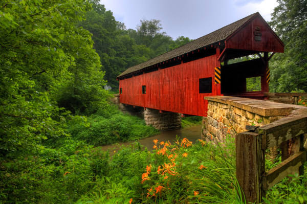
| Yardley, PA | 2,496 | 42 | 248 | 289 |
| City | Population | Violent crime/100k people | Property crime/100k people | Total crime/100k people |
| Silver Lake, OH | 2,496 | 45 | 265 | 310 |
| Redfield, SD | 2,496 | 158 | 730 | 888 |
| Lake Crystal, MN | 2,496 | 119 | 833 | 952 |
| Santa Claus, IN | 2,495 | 76 | 353 | 429 |
| Lawai, HI | 2,497 | 65 | 577 | 642 |
| Yardley, PA | 2,496 | 42 | 248 | 289 |
 Here are the best places to live in Pennsylvania
 Check out the 10 safest cities in Pennsylvania
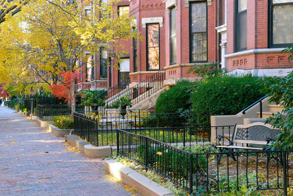 Safest Cities In The US
 These are the largest cities in Pennsylvania