| Statistic | Reportedincidents | /100k people | Weatogue/100k people | Connecticut/100k people | National/100k people |
| Total crime | 0 | n/a (estimate) | 309 (estimate) | 1,709 | 2,281 |
| Murder | n/a | n/a | n/a | 3.7 | 5.7 |
| Rape | n/a | n/a | n/a | 20.1 | 38.0 |
| Robbery | n/a | n/a | n/a | 43.4 | 66.5 |
| Assault | n/a | n/a | n/a | 83.0 | 264.1 |
| Violent crime | n/a | n/a (estimate) | 27 (estimate) | 150 | 364 |
| Burglary | n/a | n/a | n/a | 127.8 | 250.7 |
| Theft | n/a | n/a | n/a | 1,138.7 | 1,347.2 |
| Vehicle theft | n/a | n/a | n/a | 292.0 | 318.7 |
| Property crime | n/a | n/a (estimate) | 282 (estimate) | 1,558 | 1,917 |

| Item | Weatogue | Connecticut | National |
| Law enforcement employees (officers & civilians) | n/a | 5,593 | 558,732 |
| Police officers & civilians /1000 residents | n/a | 2.6 | 3.3 |
| State | Total offenders | Connecticut /100K | National /100K |
| Connecticut | 6,088 | 184 | 266 |
| City | Population | Violent crime/100k people | Property crime/100k people | Total crime/100k people |
| West Simsbury, CT | 3,131 | 29 | 297 | 325 |
| North Granby, CT | 1,425 | 32 | 336 | 369 |
| Salmon Brook, CT | 2,348 | 45 | 471 | 516 |
| Suffield Depot, CT | 2,020 | 47 | 485 | 531 |
| Collinsville, CT | 3,729 | 48 | 499 | 547 |
| Northwest Harwinton, CT | 2,897 | 53 | 552 | 605 |
| Thomaston, CT | 1,730 | 40 | 588 | 628 |
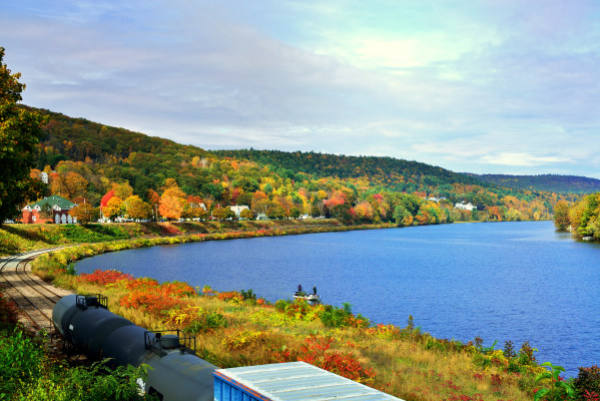
| Weatogue, CT | 2,396 | 27 | 282 | 309 |
| City | Population | Violent crime/100k people | Property crime/100k people | Total crime/100k people |
| Breezy Point, MN | 2,396 | 107 | 250 | 357 |
| Skaneateles, NY | 2,396 | 61 | 282 | 343 |
| Ninety Six, SC | 2,395 | 340 | 1,313 | 1,654 |
| Olivia, MN | 2,397 | 87 | 695 | 782 |
| Barton Creek, TX | 2,395 | 64 | 351 | 415 |
| Weatogue, CT | 2,396 | 27 | 282 | 309 |
 Here are the best places to live in Connecticut
 Safest Cities In The US
 Most Dangerous Cities In The US
 These are the largest cities in Connecticut