| Statistic | Reportedincidents | Balboasouth Indian Trail/100k people | Spokane/100k people | Washington/100k people | National/100k people |
| Total crime | 12,660 | 2,259 (estimate) | 5,516 | 2,793 | 2,119 |
| Murder | 16 | n/a | 7.0 | 3.8 | 5.0 |
| Rape | 176 | n/a | 76.7 | 37.8 | 37.5 |
| Robbery | 333 | n/a | 145.1 | 67.5 | 60.6 |
| Assault | 1,024 | n/a | 446.1 | 217.0 | 256.1 |
| Violent crime | 1,549 | 235 (estimate) | 675 | 326 | 359 |
| Burglary | 1,484 | n/a | 646.5 | 398.8 | 229.2 |
| Theft | 8,421 | n/a | 3,668.8 | 1,634.2 | 1,272.1 |
| Vehicle theft | 1,206 | n/a | 525.4 | 433.5 | 258.8 |
| Property crime | 11,111 | 2,024 (estimate) | 4,841 | 2,467 | 1,760 |
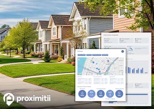
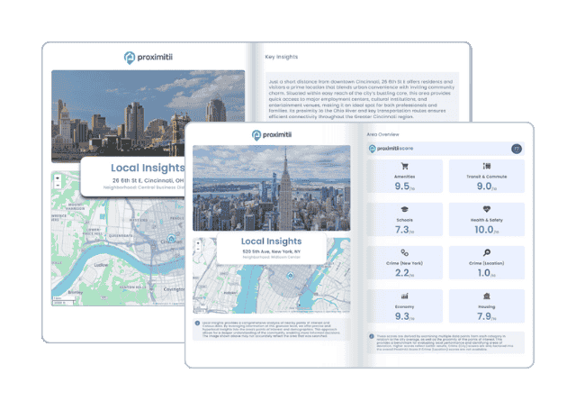
Why stop at city-to-city? With Local Insights, you can compare neighborhoods, zip codes, or even exact addresses. Access 300+ hyperlocal data points—from schools and crime to housing and amenities—to see which area is the better fit.

| Item | Balboasouth Indian Trail | Spokane | Washington |
| Law enforcement employees (officers & civilians) | n/a | 384 | 8,169 |
| Police officers & civilians /1000 residents | n/a | 1.8 | 2.2 |
| State | Total offenders | Washington /100K | National /100K |
| Washington | 6,688 | 107 | 266 |
| City | Population | Violent crime/100k people | Property crime/100k people | Total crime/100k people |
| Millwood, WA | 1,742 | 131 | 992 | 1,123 |
| Green Bluff, WA | 366 | 132 | 996 | 1,128 |
| Medical Lake, WA | 4,950 | 255 | 1,931 | 2,187 |
| Mead, WA | 6,995 | 272 | 2,058 | 2,330 |
| Country Homes, WA | 5,877 | 304 | 2,297 | 2,600 |
| Town and Country, WA | 5,402 | 311 | 2,350 | 2,661 |
| Spokane Valley, WA | 99,275 | 242 | 3,516 | 3,758 |
| Spokane, WA | 219,185 | 675 | 4,841 | 5,516 |
| City | Population | Violent crime/100k people | Property crime/100k people | Total crime/100k people |
| Spring Valley, NV | 218,697 | 353 | 1,928 | 2,281 |
| San Bernardino, CA | 216,784 | 897 | 2,898 | 3,795 |
| Baton Rouge, LA | 222,191 | 543 | 2,400 | 2,943 |
| Tacoma, WA | 215,766 | 1,063 | 5,604 | 6,667 |
| Des Moines, IA | 215,408 | 703 | 3,126 | 3,829 |
| Spokane, WA | 219,185 | 675 | 4,841 | 5,516 |
 Here are the best places to live in Washington
 Most Dangerous Cities In The US
 Safest States In The US
 See the best places to live in Spokane