| Statistic | Reportedincidents | /100k people | Spangle/100k people | Washington/100k people | National/100k people |
| Total crime | 0 | n/a (estimate) | 3,861 (estimate) | 3,244 | 2,281 |
| Murder | n/a | n/a | n/a | 4.8 | 5.7 |
| Rape | n/a | n/a | n/a | 37.3 | 38.0 |
| Robbery | n/a | n/a | n/a | 82.1 | 66.5 |
| Assault | n/a | n/a | n/a | 233.0 | 264.1 |
| Violent crime | n/a | n/a (estimate) | 425 (estimate) | 357 | 364 |
| Burglary | n/a | n/a | n/a | 481.0 | 250.7 |
| Theft | n/a | n/a | n/a | 1,724.5 | 1,347.2 |
| Vehicle theft | n/a | n/a | n/a | 681.2 | 318.7 |
| Property crime | n/a | n/a (estimate) | 3,436 (estimate) | 2,887 | 1,917 |

| Item | Spangle | Washington | National |
| Law enforcement employees (officers & civilians) | n/a | 8,169 | 558,732 |
| Police officers & civilians /1000 residents | n/a | 2.2 | 3.3 |
| State | Total offenders | Washington /100K | National /100K |
| Washington | 6,688 | 107 | 266 |
| City | Population | Violent crime/100k people | Property crime/100k people | Total crime/100k people |
| Cheney, WA | 12,455 | 329 | 1,957 | 2,286 |
| Medical Lake, WA | 4,950 | 280 | 2,261 | 2,541 |
| Rockford, WA | 418 | 453 | 3,665 | 4,118 |
| Fairfield, WA | 485 | 468 | 3,782 | 4,249 |
| Rosalia, WA | 648 | 496 | 4,013 | 4,509 |
| Tekoa, WA | 776 | 505 | 4,081 | 4,586 |
| Waverly, WA | 169 | 521 | 4,215 | 4,736 |
| Spangle, WA | 231 | 425 | 3,436 | 3,861 |
| City | Population | Violent crime/100k people | Property crime/100k people | Total crime/100k people |
| Ulen, IN | 231 | 134 | 623 | 758 |
| Liberty borough (Tioga County), PA | 231 | 399 | 2,365 | 2,764 |
| McGrath, AK | 231 | 1,107 | 2,862 | 3,969 |
| Carthage, AR | 231 | 848 | 3,048 | 3,896 |
| Lambs Grove, IA | 231 | 240 | 1,233 | 1,473 |
| Spangle, WA | 231 | 425 | 3,436 | 3,861 |
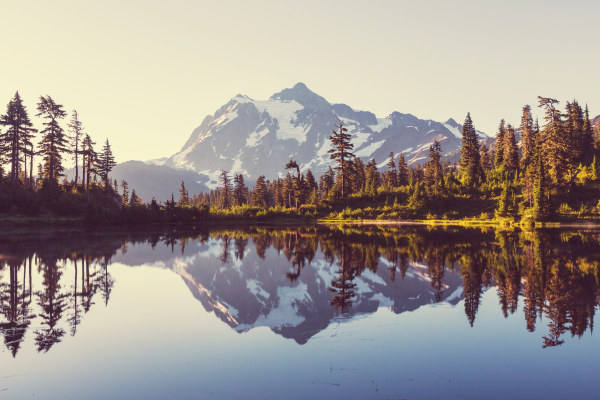 Here are the best places to live in Washington
 See the best places to live in Spangle
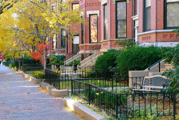 Safest Cities In The US
 Check out the 10 safest cities in Washington