| Statistic | Reportedincidents | Lower 9th Ward/100k people | New Orleans/100k people | Louisiana/100k people | National/100k people |
| Total crime | 23,493 | 5,418 (estimate) | 6,451 | 3,178 | 2,281 |
| Murder | 193 | n/a | 53.0 | 14.5 | 5.7 |
| Rape | 681 | n/a | 187.0 | 47.2 | 38.0 |
| Robbery | 656 | n/a | 180.1 | 53.3 | 66.5 |
| Assault | 3,427 | n/a | 941.0 | 433.1 | 264.1 |
| Violent crime | 4,957 | 1,724 (estimate) | 1,361 | 548 | 364 |
| Burglary | 1,742 | n/a | 478.3 | 447.0 | 250.7 |
| Theft | 10,091 | n/a | 2,770.8 | 1,805.8 | 1,347.2 |
| Vehicle theft | 6,703 | n/a | 1,840.5 | 377.4 | 318.7 |
| Property crime | 18,536 | 3,694 (estimate) | 5,090 | 2,630 | 1,917 |

| Item | Lower 9th Ward | New Orleans | Louisiana |
| Law enforcement employees (officers & civilians) | n/a | 1,513 | 7,311 |
| Police officers & civilians /1000 residents | n/a | 4.2 | 4.2 |
| State | Total offenders | Louisiana /100K | National /100K |
| Louisiana | 12,948 | 286 | 266 |
| City | Population | Violent crime/100k people | Property crime/100k people | Total crime/100k people |
| Lafourche Crossing, LA | 1,982 | 77 | 369 | 446 |
| Harahan, LA | 9,293 | 162 | 716 | 878 |
| Elmwood, LA | 6,099 | 178 | 855 | 1,033 |
| River Ridge, LA | 13,690 | 209 | 1,002 | 1,211 |
| Belle Chasse, LA | 10,241 | 209 | 1,002 | 1,211 |
| Timberlane, LA | 10,498 | 253 | 1,213 | 1,465 |
| Metairie, LA | 138,511 | 267 | 1,279 | 1,546 |
| New Orleans, LA | 391,249 | 1,361 | 5,090 | 6,451 |
| City | Population | Violent crime/100k people | Property crime/100k people | Total crime/100k people |
| Wichita, KS | 390,566 | 1,132 | 4,732 | 5,865 |
| Tampa, FL | 395,912 | 460 | 1,655 | 2,115 |
| Arlington, TX | 397,269 | 487 | 2,578 | 3,065 |
| Cleveland, OH | 383,331 | 1,703 | 4,813 | 6,516 |
| Tulsa, OK | 402,441 | 912 | 3,938 | 4,851 |
| New Orleans, LA | 391,249 | 1,361 | 5,090 | 6,451 |
 Here are the best places to live in Louisiana
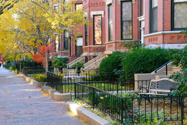 Safest Cities In The US
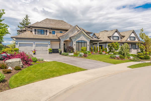 These are the 10 cheapest cities in Louisiana
 These are the largest cities in Louisiana