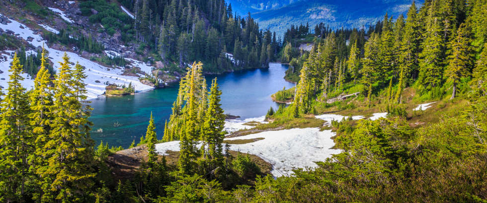
Montana, known for its vast landscapes and outdoor recreational opportunities, is a state that offers a high quality of life and a strong sense of community. With a population of approximately 1.1 million, it ranks as the 43rd most populated state in the U.S. Montana has experienced steady population growth, reflecting its appealing living conditions and economic opportunities. Bordered by Canada to the north, North Dakota and South Dakota to the east, Wyoming to the south, and Idaho to the west, Montana offers a variety of living environments across its roughly 129 cities and towns.
Living in Montana provides residents with numerous benefits, including a low cost of living, excellent schools, and abundant natural beauty. The state's low population density allows for spacious living and a slower pace of life, with plenty of opportunities for outdoor activities and community engagement. Montana's economy is diverse, with strengths in agriculture, manufacturing, and tourism. The state's stable population growth supports a balanced and sustainable development path. The AreaVibes list of the largest cities in Montana, based on data from the United States Census Bureau's American Community Survey, highlights Montana cities by population, showcasing the state's most significant urban centers.
| Rank | Location | Population | Area KM2 | Median Income | Livability Score |
| 1 | Billings | 109,705 | 113 | $60,032 | 77 |
| 2 | Missoula | 74,994 | 76 | $50,947 | 80 |
| 3 | Great Falls | 58,717 | 59 | $49,809 | 79 |
| 4 | Bozeman | 48,330 | 52 | $59,695 | 87 |
| 5 | Butte-Silver Bow | 34,263 | 1,854 | $49,659 | 58 |
| 6 | Helena | 32,655 | 43 | $60,074 | 81 |
| 7 | Kalispell | 23,935 | 31 | $47,750 | 70 |
| 8 | Havre | 9,739 | 10 | $50,635 | 70 |
| 9 | Belgrade | 9,184 | 10 | $62,335 | 77 |
| 10 | Anaconda-Deer Lodge County | 9,153 | 1,908 | $42,129 | 72 |
| 11 | Helena Valley Southeast | 8,546 | 37 | $59,541 | 63 |
| 12 | Evergreen | 8,416 | 22 | $59,338 | 69 |
| 13 | Miles City | 8,372 | 9 | $53,571 | 77 |
| 14 | Lockwood | 8,206 | 33 | $62,572 | 62 |
| 15 | Helena Valley West Central | 8,042 | 68 | $74,632 | 64 |
| 16 | Whitefish | 8,032 | 17 | $51,821 | 82 |
| 17 | Livingston | 7,696 | 15 | $44,591 | 77 |
| 18 | Laurel | 6,797 | 6 | $56,902 | 70 |
| 19 | Sidney | 6,351 | 9 | $60,284 | 73 |
| 20 | Lewistown | 5,923 | 15 | $34,065 | 69 |
| 21 | Columbia Falls | 5,651 | 6 | $48,427 | 68 |
| 22 | Orchard Homes | 5,480 | 15 | $71,316 | 73 |
| 23 | Polson | 5,033 | 11 | $39,604 | 53 |
| 24 | Glendive | 5,030 | 9 | $47,541 | 74 |
To compile the list of the largest cities in Montana, AreaVibes used census data from the United States Census Bureau's American Community Survey (ACS). The American Community Survey releases updated estimates annually, offering a valuable resource for understanding the evolving dynamics within communities. These estimates are crucial for officials, community leaders, businesses, and local residents as they provide insights into demographic, economic, and social changes. By analyzing ACS data, stakeholders can make informed decisions, plan for future developments, and address the needs of their communities effectively. The detailed population information from the ACS helps track trends, allocate resources, and implement policies that enhance the quality of life for all residents.
The map above serves as an excellent tool for discovering the most and least densely populated states across the United States. By highlighting both the states with the highest and lowest population density, it offers a comprehensive view of the nation's demographic landscape. This visual representation allows users to easily compare different regions, making it a valuable resource for anyone considering relocation or investment opportunities. Living in high density states could give you access to the following benefits: additional economic opportunities, enhanced amenities, improved health care, better infrastructure and technological advancement. Less densely poupulated states on the other hand, often have a lower cost of living, reduced traffic, closer-knit communities, abundant natural spaces and lower crime rates.