| Statistic | Reportedincidents | /100k people | McGregor/100k people | Texas/100k people | National/100k people |
| Total crime | 0 | n/a (estimate) | 2,290 (estimate) | 2,644 | 2,281 |
| Murder | n/a | n/a | n/a | 6.0 | 5.7 |
| Rape | n/a | n/a | n/a | 49.5 | 38.0 |
| Robbery | n/a | n/a | n/a | 68.8 | 66.5 |
| Assault | n/a | n/a | n/a | 281.7 | 264.1 |
| Violent crime | n/a | n/a (estimate) | 352 (estimate) | 406 | 364 |
| Burglary | n/a | n/a | n/a | 303.9 | 250.7 |
| Theft | n/a | n/a | n/a | 1,524.5 | 1,347.2 |
| Vehicle theft | n/a | n/a | n/a | 409.9 | 318.7 |
| Property crime | n/a | n/a (estimate) | 1,938 (estimate) | 2,238 | 1,917 |

| Item | McGregor | Texas | National |
| Law enforcement employees (officers & civilians) | 20 | 46,020 | 558,732 |
| Police officers & civilians /1000 residents | 3.9 | 3.0 | 3.3 |
| State | Total offenders | Texas /100K | National /100K |
| Texas | 95,281 | 443 | 266 |
| City | Population | Violent crime/100k people | Property crime/100k people | Total crime/100k people |
| Valley Mills, TX | 1,393 | 386 | 464 | 850 |
| China Spring, TX | 1,264 | 136 | 747 | 883 |
| Woodway, TX | 8,936 | 142 | 785 | 928 |
| Bruceville-Eddy, TX | 1,675 | 0 | 1,028 | 1,028 |
| Moody, TX | 1,525 | 189 | 1,044 | 1,234 |
| Hewitt, TX | 14,705 | 108 | 1,342 | 1,450 |
| Lorena, TX | 1,822 | 393 | 1,237 | 1,630 |
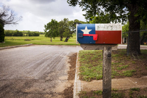
| McGregor, TX | 5,212 | 352 | 1,938 | 2,290 |
| City | Population | Violent crime/100k people | Property crime/100k people | Total crime/100k people |
| Diboll, TX | 5,210 | 282 | 975 | 1,256 |
| Anthony, TX | 5,210 | 234 | 934 | 1,168 |
| Midway, UT | 5,210 | 75 | 530 | 606 |
| Brewton, AL | 5,210 | 771 | 4,609 | 5,380 |
| Big Stone Gap, VA | 5,209 | 137 | 1,409 | 1,546 |
| McGregor, TX | 5,212 | 352 | 1,938 | 2,290 |
 Here are the best places to live in Texas
 These are the 10 cheapest cities in Texas
 Safest Cities In The US
 See the best places to live in McGregor