| Statistic | Reportedincidents | /100k people | Camino Tassajara/100k people | California/100k people | National/100k people |
| Total crime | 0 | n/a (estimate) | 834 (estimate) | 2,564 | 2,119 |
| Murder | n/a | n/a | n/a | 4.5 | 5.0 |
| Rape | n/a | n/a | n/a | 36.6 | 37.5 |
| Robbery | n/a | n/a | n/a | 119.1 | 60.6 |
| Assault | n/a | n/a | n/a | 325.8 | 256.1 |
| Violent crime | n/a | n/a (estimate) | 158 (estimate) | 486 | 359 |
| Burglary | n/a | n/a | n/a | 305.8 | 229.2 |
| Theft | n/a | n/a | n/a | 1,345.2 | 1,272.1 |
| Vehicle theft | n/a | n/a | n/a | 427.5 | 258.8 |
| Property crime | n/a | n/a (estimate) | 676 (estimate) | 2,078 | 1,760 |

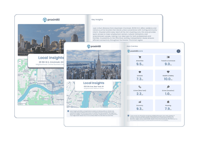
Why stop at city-to-city? With Local Insights, you can compare neighborhoods, zip codes, or even exact addresses. Access 300+ hyperlocal data points—from schools and crime to housing and amenities—to see which area is the better fit.

| Item | Camino Tassajara | California | National |
| Law enforcement employees (officers & civilians) | n/a | 51,506 | 558,732 |
| Police officers & civilians /1000 residents | n/a | 3.6 | 3.3 |
| State | Total offenders | California /100K | National /100K |
| California | 79,891 | 232 | 266 |
| City | Population | Violent crime/100k people | Property crime/100k people | Total crime/100k people |
| Shell Ridge, CA | 1,081 | 68 | 292 | 360 |
| Alhambra Valley, CA | 1,051 | 68 | 292 | 360 |
| Castle Hill, CA | 1,164 | 68 | 292 | 360 |
| Knightsen, CA | 1,100 | 68 | 292 | 360 |
| San Miguel, CA | 3,253 | 93 | 396 | 488 |
| Reliez Valley, CA | 3,321 | 93 | 396 | 488 |
| Moraga, CA | 16,896 | 91 | 487 | 578 |
| Camino Tassajara, CA | 5,870 | 158 | 676 | 834 |
| City | Population | Violent crime/100k people | Property crime/100k people | Total crime/100k people |
| Marlow Heights, MD | 5,872 | 362 | 1,765 | 2,127 |
| Snowflake, AZ | 5,873 | 312 | 1,113 | 1,425 |
| North Hills, NY | 5,867 | 124 | 559 | 683 |
| High Springs, FL | 5,875 | 220 | 1,168 | 1,387 |
| Jamesburg, NJ | 5,876 | 34 | 359 | 393 |
| Camino Tassajara, CA | 5,870 | 158 | 676 | 834 |
 Here are the best places to live in California
 These are the largest cities in California
 Safest States In The US
 See the best places to live in Camino Tassajara